AERIAL / FIELD DOCUMENTATION
Huntersville · Mosby Northlake
A dated aerial record of the active development, surrounding buildings, access routes and site conditions.
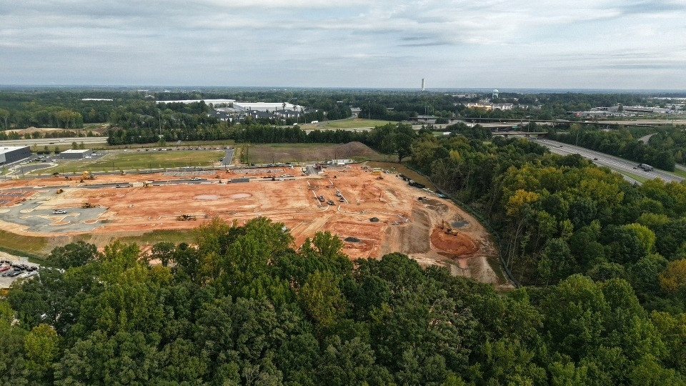
Recovered 960 × 540 camera previews from the September 15 capture. Original full-resolution photos and video are not included in this public record.
SELECTED PERSPECTIVES
A view of the site.
Your next site. In focus.
Aerial and ground documentation, connected through JARELT.